Detecting in time: what a demonstration of under twelve minutes teaches us
In a press release published on 4 November 2025, Dryad Networks, a German company specialising in sensors for early wildfire detection, reported a demonstration in which a system of sensors and drones detected, located and extinguished a fire in under twelve minutes from ignition. According to the company, the sequence was completed with no direct human intervention [1].
The test shows what is technologically possible, but it does not set a universal timeframe for bringing fires under control. How a fire develops depends on fuel, terrain and weather. The useful question is what information we can obtain earlier and how to get it to the people who must act.
Before the fire and after the alarm
Prevention starts with forest management, risk reduction and preparing the territory. One line of development is detecting risk situations. The Chilean company Drovid proposes using drones and artificial intelligence for this purpose, according to a statement from Chile's Ministry of Economy [2].
When an alert appears, confirming what is happening is essential. Ground sensors, cameras and aerial observation can provide complementary information on the location and surroundings of a possible fire. Early detection is most useful when it triggers a well-organised check and response.
During the emergency
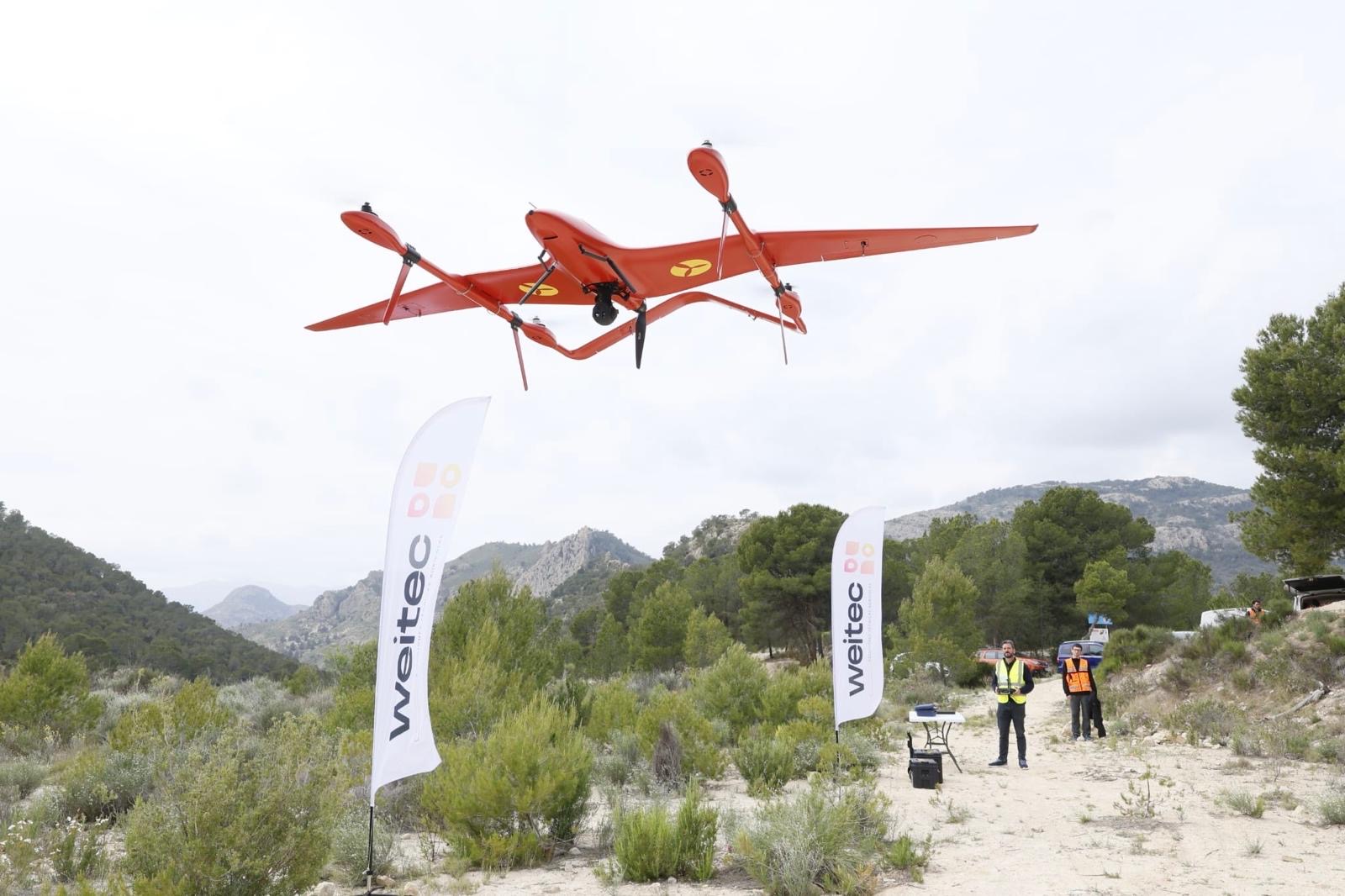
Once a fire has been declared, the teams in charge of suppression need to know how the fire fronts are developing, where the perimeter is and where the hot spots are, as well as to observe hard-to-reach areas. Drones can provide imagery and help maintain an up-to-date picture of the situation.
The U.S. Forest Service UAS programme report records more than 17,000 flights in fiscal year 2024. The figure covers the programme as a whole, which includes fire management, resource and training activities; it does not represent firefighting flights alone [3].
Electro-optical and thermal observation can support the identification of anomalies and hot spots. How well it works depends on conditions, equipment and interpretation. The operational value lies in providing clear, localised information that the incident commander can use.
More than 678,000 hectares burned: the scale of the problem
The European Union had accumulated 678,978 hectares burned as of 23 September 2026, above the 2006–2025 average, according to the Joint Research Centre [4].
In Spain, the 2026 state firefighting plan includes 56 aerial assets provided by the Ministry for the Ecological Transition and the Demographic Challenge (MITECO), in addition to the resources of the regions and other bodies [5]. Adding drones should strengthen that set-up through well-defined missions, reliable communications and coordination with crewed aircraft.
Prolonged surveillance also demands organisation. An aircraft's endurance does not, on its own, amount to permanent surveillance: it takes relief crews, power, personnel and a system able to receive and make use of the information.
The role of the fixed-wing VTOL
A fixed-wing VTOL combines vertical take-off and landing with the flight of an aeroplane: it can operate without a conventional runway and cover large areas with greater endurance than a multirotor.
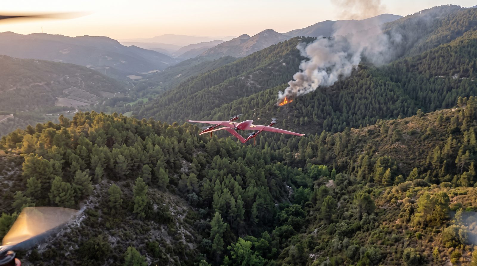
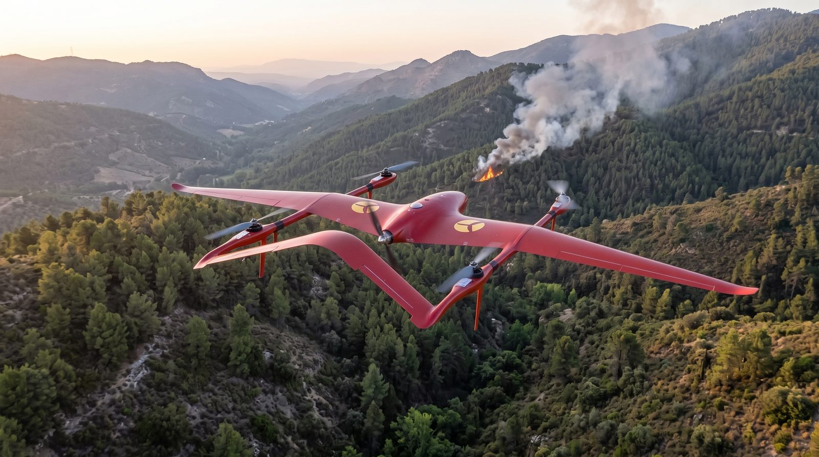
IMS Drones works with platforms of this type, such as KITE and Falziot. An example mission: on a high-risk day, an aircraft takes off vertically from an access point to the forest and flies a scheduled patrol over hard-to-reach areas. With an optical and thermal camera, it can detect a possible fire or risky activity, pinpoint it and send imagery and coordinates in real time to the coordination centre, which decides how to act.
What matters is that an alert becomes useful knowledge and reaches the people who must respond in time. To achieve that, the technology has to integrate with the professionals, procedures and resources already working in the field. That is where drones can add value: helping people see better and decide with more information. Explore more applications in our use cases.
Sources
- Dryad Networks. Press release of 4 November 2025 on the detection and suppression demonstration. dryad.net
- Ministry of Economy of Chile (in Spanish). “Startup chilena es finalista de los WIPO Global Awards 2026 por tecnología de detección temprana de incendios forestales”, 26 May 2026. economia.gob.cl
- USDA Forest Service. UAS programme report, fiscal year 2024 (FY24). fs.usda.gov
- Joint Research Centre. “Current wildfire situation in Europe”, data as of 23 September 2026. joint-research-centre.ec.europa.eu
- Spanish Ministry of the Interior (in Spanish). “Interior adelanta al 1 de junio el comienzo de la campaña estatal estival contra incendios forestales”, 21 May 2026. interior.gob.es
Sources consulted on 4 October 2026. Dryad Networks' results and Drovid's capabilities are reported by the companies themselves.